


 다운로드 TOP50
 PC 카테고리
 자유게시판
자유게시판
AOS
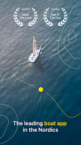
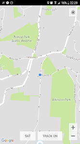
지도/내비게이션
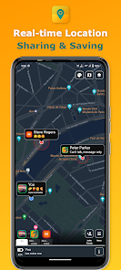
Find My Friends: Share & Track
Find My Friends is a live location sharing amp tracking app with your family friends and loved ones for staying connected all the time We make it easy to share your location with those you trust
Also save your favorite locations amp share it with anyone
Why Use Find My Friends
RealTime Sharing Made Easy Securely share realtime GPS location with your family friends and loved ones Also safely track their locations Perfect for trips events and daily life
Favorite Locations Save amp edit your favorite locations and get navigation distance from your current location
Your Privacy Your Choice Share only with people you trust Mutual consent is always required ensuring a secure experience Turn OFF location sharing any time Restrict location sharing to selective friends amp family members
BatteryFriendly Design Dark amp light mode available for battery savings Enjoy accurate updates without draining your devices battery Very low and efficient battery usage
UserFriendly Design Multiple map designs available for styling your map Change color themes as you desired one
Made for Everyday Life
Perfect for Travel Stay connected with your group on road trips or vacations
Ideal for Events Locate your friends easily in crowded places like festivals or malls
FamilyFriendly Ensure your kids or elderly family members are always within reach
We understand the importance of privacy Thats why Find My Friends prioritizes security and transparency
Transparent Sharing Youll always know when location sharing is active
Mutual Consent Both parties must agree to share locations Built with Trust and Privacy in Mind
How It Works
1 Download the app and set up your profile
2 Invite family or friends to connect with you
3 Start sharing your location safely and securely
Permissions
Location services To enable realtime location sharing
Notifications To inform you of your friends amp family39s location changes
Photos and Camera To change your profile picture
Storage To download your app data
Important Continued use of GPS in the background can shorten battery life
Note Find My Friends is NOT designed for spying or secret surveillance solution This app will show a persistent notification at all times when the app is running Location sharing is possible only with the mutual consent of all friends amp family members
Credits
Location icons created by Freepik Flaticon
Image by vectorpocket on Freepik
- 평점
- 평점 0
- 무료

194,052
자세히보기
![]()
AOS
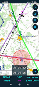
지도/내비게이션
19,371
자세히보기
![]()
공지사항
- 소프트쉐어 신규 소프트웨어 추가 안내 2025.01.17
- 소프트쉐어 서비스 이용 가이드 업데이트 안내 2025.01.17
- 소프트쉐어 웹사이트 리뉴얼 안내 2025.01.17