


 다운로드 TOP50
 PC 카테고리
 자유게시판
자유게시판
MA GPX: Create, Edit GPS track
 다운로드수 48
-
0 (0명)


| 분류 | 지도/내비게이션 |
|---|---|
| 버전 | 2.25.02 |
| 연령 | 3세 이상 |
| 업데이트 | 2020. 5. 18. |
| 금주 다운수 | 0 |
| 누적 다운수 | 48 |
| 개발사 | GPX Editor, GPS Randonnées, Measure field area |
| 다운로드 | |
|
!소프트웨어 사용범위 위반 시
법적 책임을 질 수 있습니다. |
|


상세정보
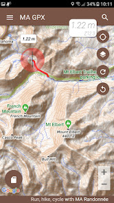
Better than a hiking GPS MA GPX is the complete hiking application
Prepare your GPS tracks
You import your tracks from KML or GPX files and modify them as you want
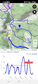
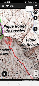
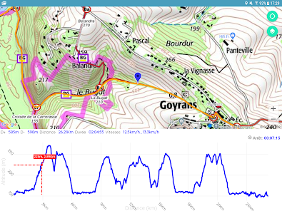
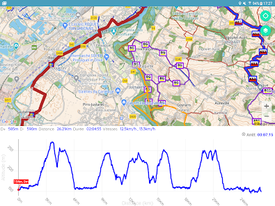
You draw the track instantly obtain the distance and then the measurement of the elevation
To create the track you draw the track with your finger you can stretch it delete sections cut it add sections
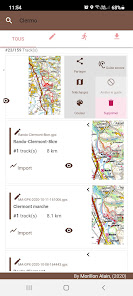
Your tracks are stored in the tracks history You can then resume each of the tracks
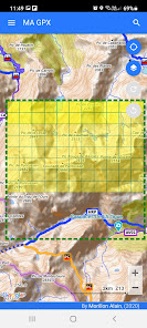
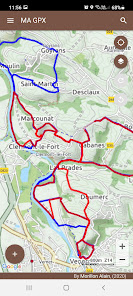
You display your tracks on the map share them with your friends or simply display profiles and statistics
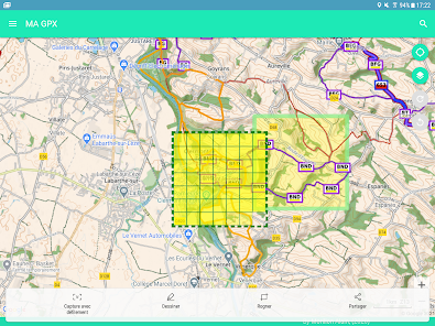
Offline Maps outdoor activities
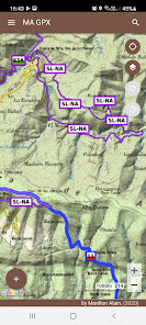
To be guaranteed to get the necessary maps of outdoor activities you download maps by advance
You download the maps from a predefined area on the map or simply from a track to follow
The cache containing the downloaded maps can be viewed to obtain the size rate
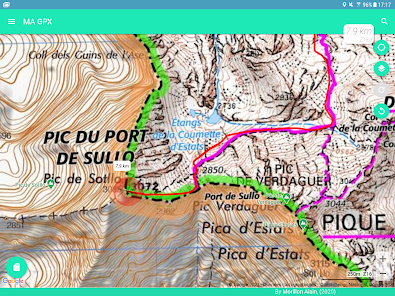
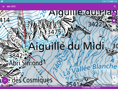
Outdoors
Thanks to the quality screen of your smartphone MA GPX replaces any hiking GPS as you can
see on the map your position at any time
display the tracks of your choice
display statistical data altitudes distances breaks speeds percentage of slopes and instantaneous speed
save your road
save points of interest POI on your track
Make a sight line with the compass of your device to obtain the point in sight The azimuth will be plotted on the map at the target point
And from the voice guide you are able to
to be guided by the sound assistance to follow a route
to listen to the directions and the deviations from the trajectory
to suspend or resume guidance at any time
to change the route to follow at any time
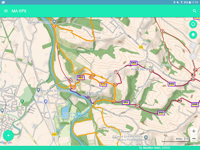
Maps
Many quality maps are available such as Swiss France Belgian Spanish maps and many more
You have access to specific layers overlay maps allowing
to obtain the inclination of the terrain
to obtain the OpenStreetMap paths
to obtain the European paths of great hikes
Other features
Useful feature are available such as
Share your position by SMS or email In an emergency for example
Save or restore all your tracks in a single operation
Obtain the geographic coordinates of a point and share it
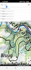
Search a geographic position on the map from latitude and longitude or place name
View or edit the tracks of your choice when the GPX file contains several tracks
Merge a track composed of several tracks
Add POI to track
Cut the track into several sections
Easily resume each modification from the quotUndo/Redoquot buttons
Conclusion
This application is ideal for preparing and carrying out many outdoor activities
Hiking
Running
Trail
Mountain biking
Skiing
Horseback riding
Racket
Hunt
Mushroom picking
Help / Support
Help is available in the main menu under quotHelpquot
For problems encountered improvements contact supportmalogicielcom
리뷰
- 소프트쉐어 신규 소프트웨어 추가 안내 2025.01.17
- 소프트쉐어 서비스 이용 가이드 업데이트 안내 2025.01.17
- 소프트쉐어 웹사이트 리뉴얼 안내 2025.01.17


